-40%
2007-8 August Nat'l Geographic Map DIVIDING LINK MEXICO CENTRAL AMERICA - B (AV)
$ 1.84
- Description
- Size Guide
Description
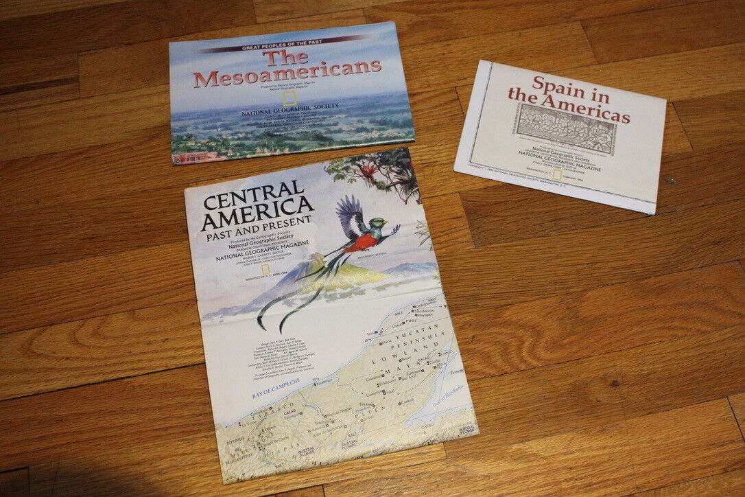
2007-8 August Dividing Link MEXICO & CENTRAL AMERICA National Geographic MapThree million years ago, a land bridge was formed by the movements of giant tectonic plates, connecting north and south America, and creating Central America. The map-side of this study contains a classic National Geographic political map of current Mexico and Central America, with inset maps showing where the ancient cultures lived. The reverse-side contains a physical map of the same area, color-coded according to land use from evergreen forests to population centers and roads. There are also three map insets illustrating the birth of the land bridge at various stages from 90 million years ago to 20 million years.
Map is approximately 20” x 31”
The National Geographic is known for it's fine maps & detailed information.
Supplement to the National Geographic Magazine; magazine is not included.
U.S. economy domestic shipping (normally 3-10 business days) is FREE; faster service is available if needed.
International shipping is by weight - contact us for discounted shipping rates before you purchase.


